
Maps of Solar Eclipses from 1780 to 1799
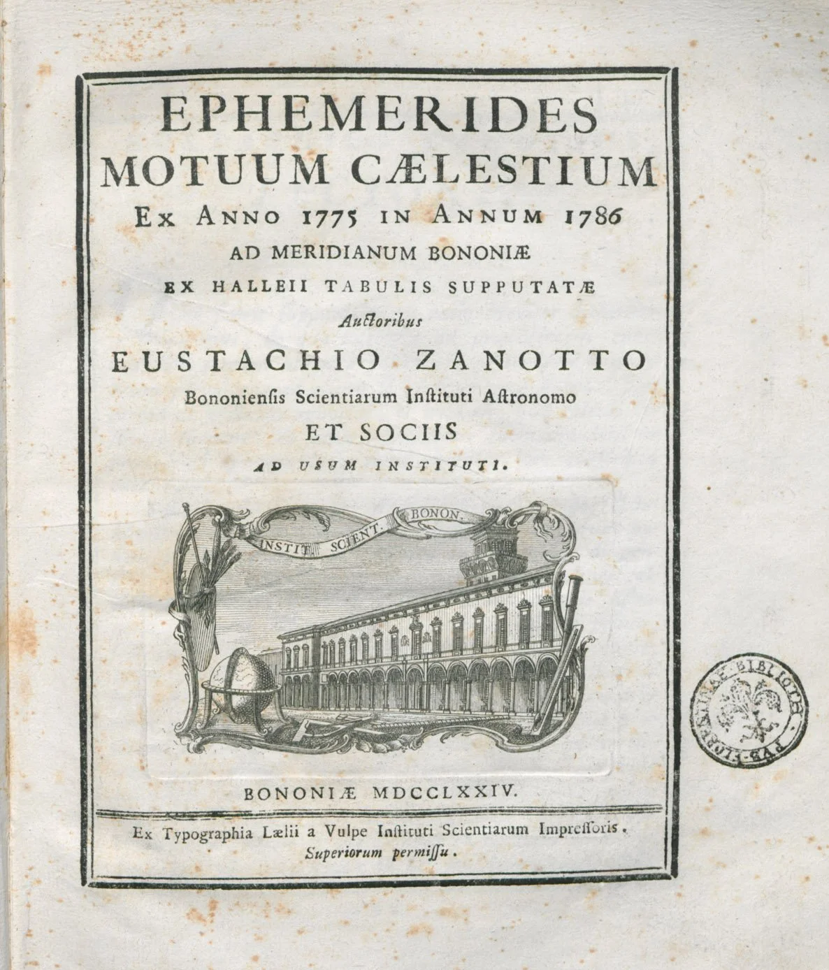
The long-running series of the first eclipse maps to be included in ephemerides comes to an end with the 1781 eclipse. Eustachio Zanotti took over the publication of the ephemerides in 1750 from his teacher, Eustachio Manfredi, and continued through his third published volume spanning the years 1775 to 1786.
It would be several decades until the British Nautical Almanac began publishing eclipse maps in 1834. After a renaissance of eclipse maps in the early 18th century, the publication of new eclipse maps was temporarily decreased.
Annular Solar Eclipse of 1781 April 23
For the eclipse of April 23, 1781, Mademoiselle de St Laurent of France drafted this interesting eclipse map. It is fascinating because it combines an accurate rendering of an eclipse identical to the form of modern eclipse maps against a cartographic background of uncertain and unknown continental boundaries. This map eloquently speaks to the fact that the state of astronomical calculations in the 18th century was considerably more advanced than the geographic knowledge of the world.
Mademoiselle de St Laurent
Title: “Figure du Passage de la Penombre de la Lune sur la Surface de la Terre, Pendant l’Eclipse de Soleil annulaire du 23 Avril 1781.”
Source: Collection of Michael Zeiler
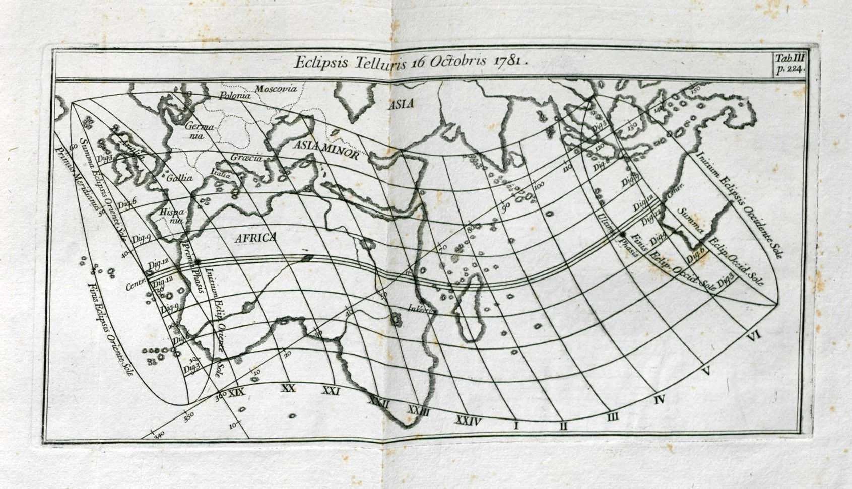
Total Solar Eclipse of 1781 October 17
Eustachio Manfredi
Title: Eclipsis Telluris 16 Octobris 1781.
Volume: Ephemerides motuum caelestium ex anno 1775 in annum 1786 ad meridianum Bononiae ex Halleii tabulis supputatae auctoribus Eustachio Zanotto ... et sociis ad usum Instituti
Source: https://preserver.beic.it/delivery/DeliveryManagerServlet?dps_pid=IE1307050
Total Solar Eclipse of 1788 June 4
This page from the massive Iconographic Encyclopedia of Science, Literature, and Art by Johann Georg Heck features an eclipse map. A nice quality of this map is the progressive shading in the penumbral, simulating the darkening partial shadow.

Henry Winkles
Volume: Iconographic Encyclopedia of Science, Literature, and Art by Johann Georg Heck, https://www.c82.net/iconography/analysis
Source: Collection of Michael Zeiler
Annular Solar Eclipse of 1793 September 5
Lambertus Nieuwenhuis
Title: Schema van den schijnbaren weg der maan over de zon, bij de zon-verduistering op donderdag den 5 september, 1793: op de meridiaan en horison van Amsterdam[;] Aaard-verduistering, op den 5 september, 1793 [en] Centrale en ringvormige zonverduistering, te Warschau, op den 5 september, 1793
Source: https://dspace.library.uu.nl/handle/1874/33183
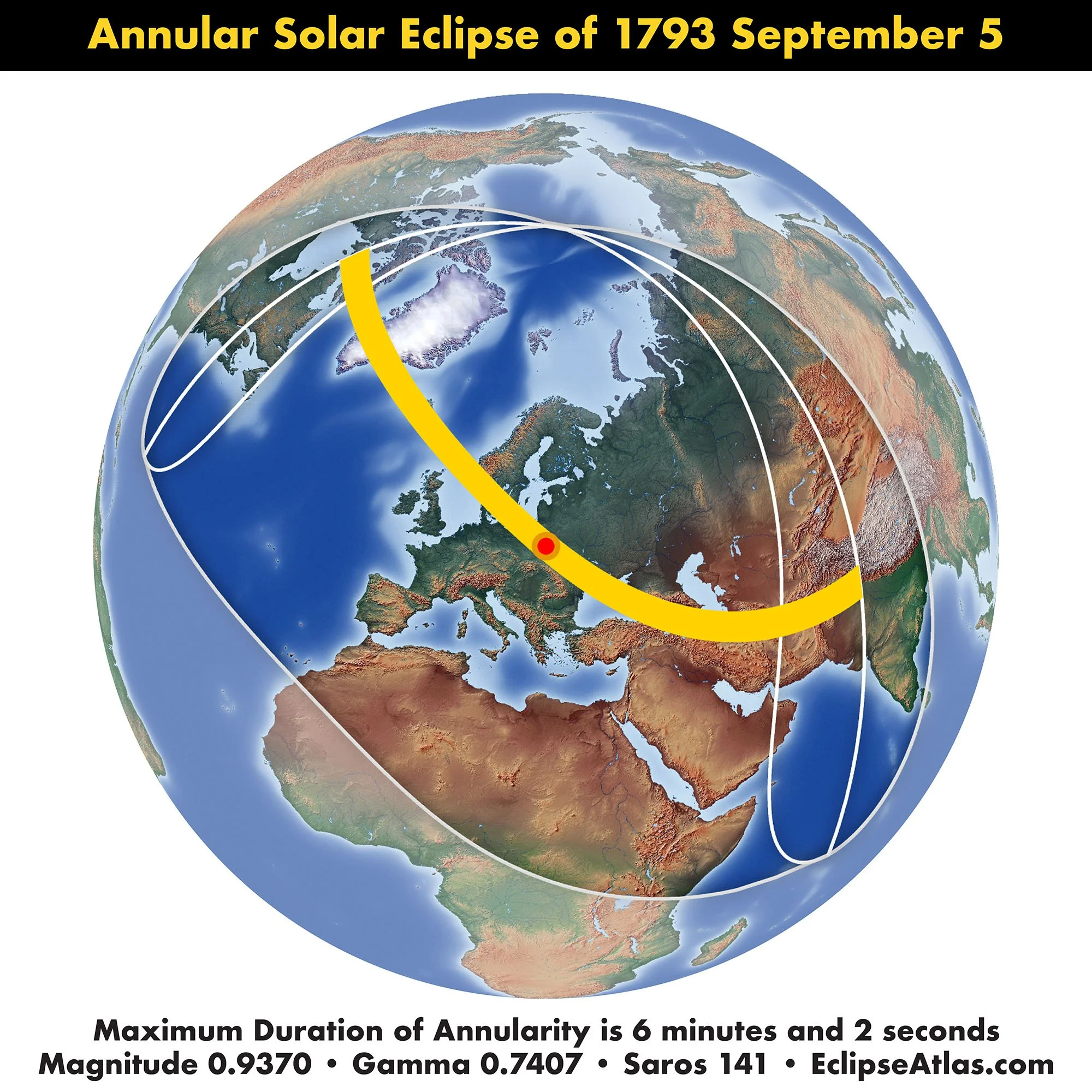
These charts by Lambertus Nieuwenhuis include a diagram of the annular solar eclipse of 1793 as seen as a deep partial eclipse from Amsterdam, a stereographic map of the eclipse over America, Europe, Asia, and Africa, and a diagram of the eclipse as seen from Warsaw inside the path of annular solar eclipse.